Southern Caribbean
Southern Caribbean
This unit goes from Limon to the Panama border, Limon is the primary touristic center as well as an scaling and distribution center.
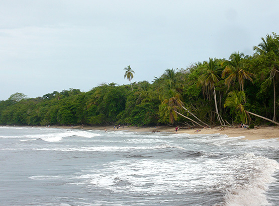
The region shows a country-unique combination of beaches, natural resources and afroamerican culture in Cahuita, Puerto Viejo and Gandoca Manzanillo.
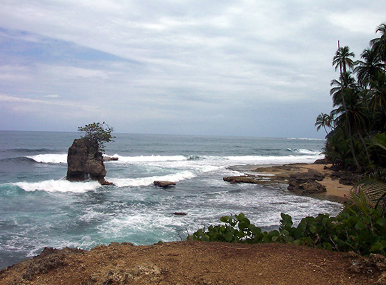
Limon’s develpment is quite different from the rest of the Caribbean Island, wich gives it an special potencial to distinguish costarican products. High quiality beaches allows adventure and natural history activities wich definetely compliment with culture, gastronomy and music. Stand out the reefs, multicolor-sanded beaches (from black to yellow and gray), coastal vegetation and medium-high forest.
Cahuita National Park and Gandoca Manzanillo Reserve are worldwide recognized, not only beacuse of their natural beauty but because they are becoming unique conservation places in almost the whole Caribbean.
Activities
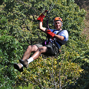
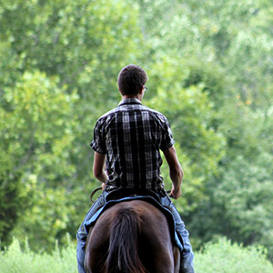
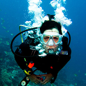
The Caribbean’s extraordinary natural and cultural wealth allows for a wide range of activities: sport-fishing, boat tours, diving, surfing, hiking, turtle- and bird-watching, dolphin-viewing, horseback riding, sea and river kayaking and more—in addition to direct contact with local cultures. The activities you can enjoy in this area are listed above, as well as their brief description.
Cultural Activities
Carribean people celebrates historic, cultural, sportive, civic and artistical activities through the year, as well as organizing raise-funding fairs for their communal development.
January
- Observation of birds migrating northward, Puerto Viejo–Talamanca. All month.
February
- Observation of birds migrating northward, Puerto Viejo–Talamanca. All month.Chinese New Year, Limón.
April
- Tropical America’s Festival, EARTH, Guácimo.
May
- 1 –> Labor Day.
July
- Cariari’s Civic Festival.
August
- 24 –> National Parks Day.
- 31 –> Black Culture Day, Flowers of the African Diaspora Festival, Limón.
September
- 14 –> Lantern’s parade.
- 15 –> Costa Rica’s Independence Day.
- After patriotic festivals, EXPOPOCOCI, Guápiles.
- Observation of birds migrating northward, Puerto Viejo–Talamanca. All month.
- 25 –> Commemoration of Christopher Columbus’ arrival, flag and band parade in the city of Limón.
October
- 12 –> Limón Carnival.
- Observation of birds migrating northward, Puerto Viejo–Talamanca. All month.
November
- Observation of birds migrating northward, Puerto Viejo–Talamanca. All month.
December
- 25 –> Christmas.
- Observation of birds migrating northward, Puerto Viejo–Talamanca. All month.
Rural Tourism and Services
The following are some of the activities and services offered through rural tourism:
Buena Vista Ecotourism Lodge, located nine kilometers north of Bribri, Talamanca, one kilometer south of Mastatal.
Activities: Organized forest and waterfall walks, tame buffalo riding, flora and fauna and local and migratory bird-watching, visits to indigenous territories, horseback riding.
Carbón Dos Lodge, located five kilometers after Cahuita; one kilometer before the entrance to Puerto Vargas, take the turnoff to the right; the community of Carbón Dos is three kilometers from here.
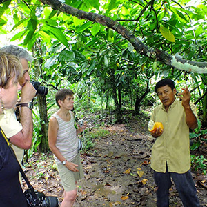
Activities: Hiking or horseback riding in the forest with viewpoints for bird-watching, visits to waterfalls and fluvial lagoons, visits to farms to learn about production systems.
Casacode Lodge, located in Los Ángeles de San Miguel de Sixaola.
Activities: Visiting indigenous communities such as Amubri, Yorkín and Cachabri, visiting waterfalls located around the farm.
Finca Educativa Lodge, located in Shiroles, Talamanca, Talamanca Indigenous Reservation.
Activities: Hiking forest trails with talks on sustainable forest management, information on water buffalos, cultivating home vegetable gardens and observing rural life.
Protected Areas
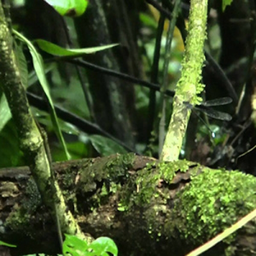
Hitoy Cerere Biological Reserve
Created in 1978, this 9,949-hectare preserve is surrounded by three indigenous reservations—Telire, Tayni and Talamanca—and is part of the La Amistad Biosphere Preserve. Hitoy Cerere, whose indigenous names mean “river of moss-covered rocks” and “river of clear waters,” respectively, is located in the Estrella and Telire river basins. The altitude here ranges from 100 to 1,025 meters above sea level. The preserve’s forests are primarily tropical very wet and premontane pluvial life zones. Representative tree species include palms, espavels, ojoches, large guayabons and many more. In terms of wildlife, there are amphibians, frogs, reptiles, raccoons, white-faced monkeys, tapirs, peccaries and ocelots, as well as around 230 bird species. Swimming is possible in rivers and streams, one of which features a lovely waterfall that may be visited by hiking a natural trail alongside the river. To get to the preserve, visitors must travel to Valle de la Estrella; five kilometers after Finca Cartagena is the administration office. The preserve offers parking, drinking water, restrooms, information, trails, viewpoints and swimming areas.
Gandoca-Manzanillo Wildlife Refuge
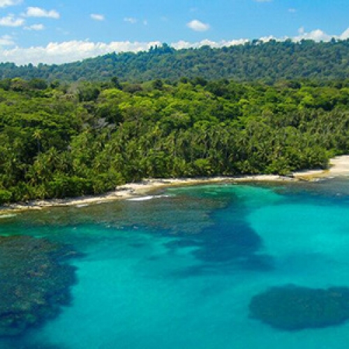
This beautiful refuge has an area of 9,449 hectares (4,436 marine and 5,013 land). Located in Talamanca, its coastline stretches from the mouth of the Río Cocles near Puerto Viejo to the mouth of the Sixaola on the Panamanian border. Its highest point is the Manzanillo hills at 185 meters above sea level. Its wooded floodplains and hills are home to tree species such as cativo, caobilla, yolillo palm, mangrove and mountain almond. Monkeys, including spider monkeys, crocodiles, peccaries, agoutis and other animals make up the predominant wildlife. There is also a large variety of birds, such as parrots, harriers, toucanets and more. Beautiful beaches cover the entire coast, excellent for walking, sunbathing, swimming, nature-watching and diving in the reefs. Trails, viewpoints, drinking water, restrooms and other services may be found all along this corridor and in towns such as Manzanillo, where the refuge’s administration office is located. The giant leatherback turtle is protected in the Gandoca area. Boat tours are available to Gandoca Lagoon, lush with tropical vegetation and habitat to the manatee.
Cahuita National Park
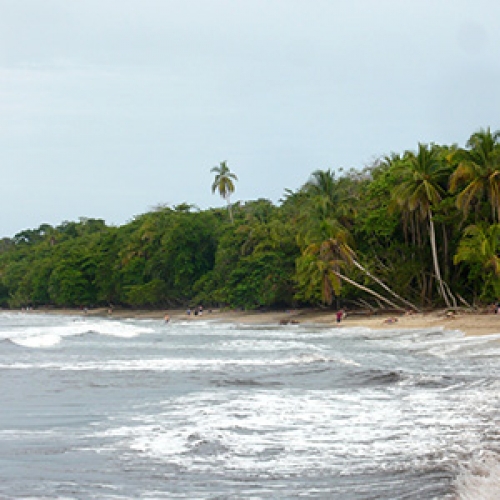
Established as a national monument in 1970 and made a national park in 1978, this wilderness area protects 1,067 hectares of land, 600 hectares of coral reef and 22,400 hectares of marine territory. Its two main areas, Cahuita and Puerto Vargas, feature highly scenic beaches as well as the largest fringing coral reef in the Costa Rican Caribbean. Various species of marine life may be seen here, including coral (brain, moose- and deer-horn, fire, rose and lettuce), mollusks, crustaceans, turtles, multicolored fish (angelfish, isabelitas, etc.) and many others. The park also protects its distinctive plant life, both marsh and coastal, as well as wildlife such as monkeys, sloths, squirrels, coatis and many birds and insects. Light-sand beaches, thousands of coconut palms, turquoise-blue seas and a coral reef make this one of the most scenically beautiful areas in the country. The park offers various activities, such as hiking, swimming, diving, sunbathing, beach volleyball, observing the wealth of biodiversity or simply doing nothing and enjoying the marvelous scenery. To make visits enjoyable, Cahuita offers the following visitor services: information, drinking water, restrooms and showers, picnic tables, trails and a camping area.
Attractions
Located close to Puerto Viejo, this reservation is of great importance due to the activities it promotes. The Bribri indigenous people who live on the reservation offer several facilities and items of interest to tourists, including a green iguana farm and indigenous handicrafts such as wooden bows and arrows, handbags, nets, hammocks and baskets. The reservation features trails for enjoying its lush vegetation and wildlife, as well as two observation towers for bird-watching, particularly of raptors migrating north and south during the months of January, February, October and November. A total of 17 raptor species have been observed here, including eagles, sparrow hawks and falcons; sightings of thousands of birds per day make for a spectacular phenomenon. Finally, the stunning Río Cocles waterfall is located within the reservation and may be visited with local guides.
Punta Uva is a wide, sandy ridge that stretches northeast up to the promontory at the end of Playa Chiquita. To the south the coast opens in a curve up to Manzanillo. Bordering this point is a coral reef where diving is possible. Punta Uva’s unique shape makes it ideal for walking all the way to Chiquita and Manzanillo beaches.
This lovely beach also belongs to Cahuita National Park, stretching several kilometers from Punta Cahuita to the mouth of the Río Carbón. It has three distinct areas, all breathtaking thanks to their lush vegetation. From north to south, the first area comprises the point up to the promontory of Puerto Vargas. Here, the water is crystalline and calm thanks to the coral reef. Extending from Puerto Vargas to the beach entrance, the second stretch features darker sand and mild to moderate surf. The third reaches from here to the mouth of the Río Carbón, and consists of an open coast with strong surf. This beach has been rewarded with the Blue Ecological Flag, wich identifies it as a clean and safe beach.
Located on the highway to Cahuita, this long, grayish-sand beach on the open ocean features abundant coastal vegetation, and stands out for its many coconut palms. Great for swimming, it is very popular with locals and national tourists, who visit it to enjoy the beach and Río Vizcaya mouth with friends or family.
Puerto Viejo sits on a point or cape made up mainly of coral platforms, so several areas here are not suitable for swimming. However, there are other spots with white sand and convenient cafes that are ideal for enjoying the ocean. These places are referred to by the names of certain people or establishments residing or situated on the beach; thus, the beach in front of Manuel León’s property is called Chinese Beach, and the beach in front of Stanford’s Restaurant is named after this establishment. Though small, both these beaches are well frequented by ocean lovers. From here to the south, at a place called Punta Pirriplí, is the famous Salsa Brava wave, one of the best surf spots on the entire Caribbean coast and host to international surfing contests. Dive shops and companies offering tours to the reef can also be found in front of these beaches.
PLAYA NEGRA (PUERTO VIEJO) Stretching from the town of Puerto Viejo to its entrance in the north, this beach is famous for its truly black sand, which owes its color to a high manganese content. Shaped in an attractive curve, Playa Negra features moderate to strong surf. Vegetation is limited as the town’s main street runs directly behind the beach. This spot is ideal for sunbathing, swimming and leisurely strolls, which can run northeast to the mouth of the Río Carbón.
“Black Beach” is the name of this dark-sand beach located north of the town of Cahuita. Long and fringed with lush tropical greenery, Playa Negra has distinct areas featuring inlets, coral platforms, coves and sandy beaches. The surf is moderate to strong. This beach is ideal for relaxing and contemplating the sea, as well as exploring on foot, horseback or mountain bike.
To get to this beach, visitors must walk some five kilometers from Manzanillo to Punta Mona. The coastline in this area is very irregular. The forest and surrounding scenery make this stretch of coast exceptionally beautiful, especially around Punta Mona, where a small, greenery-swathed island enhances the coastal scenery, complemented by always-lush forests and patches of coral ideal for diving.
This golden-sand beach stretches north some 3.5 kilometers from the town of Manzanillo to Punta Uva. It has moderate to strong surf, an irregular, curved shape, and plentiful coastal vegetation, particularly palms. Ideal for walking, horseback riding, sunbathing and swimming, this beach also offers diving in several areas in front of the town and near Punta Manzanillo. The 12-kilometer road that connects all the beaches south of Puerto Viejo ends in the town of Manzanillo, which offers numerous services including diving gear rental and dolphin-watching and dive tours.
Beyond Punta Mona the irregular coastline transforms into one that begins with a curve and then opens up to stretch more regularly up to Gandoca. Here, the beach features gray sand and strong surf. Southward from Gandoca the beach stretches to the mouth of the Río Sixaola, which marks the border with Panama. This last stretch of coast is just over eight kilometers long, and is highly suitable for walking and taking in the rich biodiversity of its ecosystems. Gandoca is also great for observing nesting leatherback turtles from April to August. The walk from Manzanillo to Gandoca takes around three hours. This beach has been rewarded with the Blue Ecological Flag, wich identifies it as a clean and safe beach.
These are continental or fluvial islands; unlike maritime island territories, these islands are surrounded mainly by fresh water from the rivers that demarcate their flat, alluvial areas. Calero is the largest island of this kind in Costa Rica, with an area of 156.1 square kilometers. Brava is the second largest at 44.4 square kilometers. These adjacent islands are located on the far-northern Caribbean coast within the Barra del Colorado National Wildlife Refuge.
Long and wide, this beach has moderate to strong surf. To the north and opposite Punta Pirriplí lies a beautiful rocky island of the same name that lends special appeal to this coast of few islands. This beach is perfect for enjoying activities such as sunbathing, swimming, hiking, horseback riding, beach volleyball and soccer. A small coral reef lies off Punta Cocles. Along the beach there are numerous tourist services, including surfboard and bicycle rentals. Horses and motorcycles may be rented in Puerto Viejo to explore this and other beaches located to the south.
Located right after Punta Cocles, this golden-sand beach forms a cove by the same name. Beyond this point the irregular coast continues, bordering rocky platforms. Some two kilometers to the south is a highly scenic rocky promontory swathed in lush tropical greenery. Here, the coastline forms a bend surrounded by calm, clear water. This lovely stretch of coast is good for relaxation and enjoying nature unchanged, whether on foot, horseback or simply lying on the beach.
Named “White Beach” for the color of its sand, Playa Blanca is part of Cahuita National Park, stretching some three kilometers from the park entrance to Punta Cahuita. The initial stretch of this narrow beach features a shelf and strong surf; swimming is not recommended here. Toward its middle stretch, before the Río Suárez estuary, however, swimming is ideal. After crossing the estuary, the presence of a fringing coral reef offshore transforms the beach into a vast lagoon. On the point, the sand is very light in color. Here the reef is close in; visitors can dive in its waters, or continue some two kilometers more to Puerto Vargas.
Held the third weekend in April, this activity promotes relations between the locals and foreigners that make up the Wet Tropic School. Activities include cultural presentations of different countries, a culinary fair and tours to sites of interest at the school, such as the botanical garden, the orchid garden and the livestock area. Outsiders are encouraged to visit.
With participation from various musical groups from throughout the country, this event takes place in Playa Chiquita during the first weeks of April, during the dry season and high season for tourists.
Like Cahuita, the town of Puerto Viejo offers many facilities to ensure an enjoyable visit. Lodging and travel companies and a tour guide association offer trips to other areas of Talamanca. There are also excellent restaurants featuring local and international cuisine, as well as varied nightlife offering traditional music and dancing from the Costa Rican Caribbean.
Yorquín or Yorkín is the name of a river with its headwaters on the Panamanian side of La Amistad International Park. Up this river is the Yorquín indigenous community, where visitor facilities allow for a unique experience that combines the beauty of the river with learning about and integrating into this exemplary community, which grows its own food and trades bananas and cacao for other products. From here, other places may be visited such as Cerro Buena Vista, hot springs and waterfalls. The Yorquín also make handicrafts that may be purchased as souvenirs.
Home to a mix of cultures, this community features varied local and international cuisine and all kinds of facilities for touring the National Park located here. Companies offer tours to the reef and to other parts of Talamanca and the surrounding area. Places for enjoying music are also available.
Located one kilometer north of Río La Estrella, this beautiful place is an approximately 100-hectare private preserve, where visitors can walk and take boat tours on the adjoining canals to observe the flora and fauna—especially birds.


